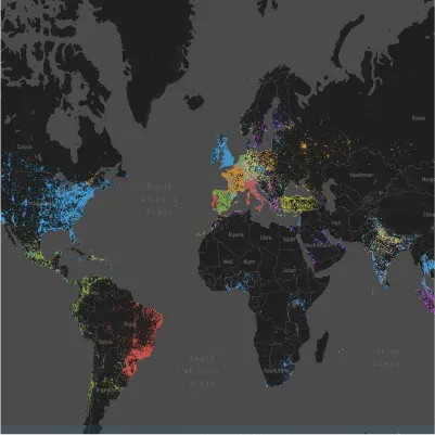
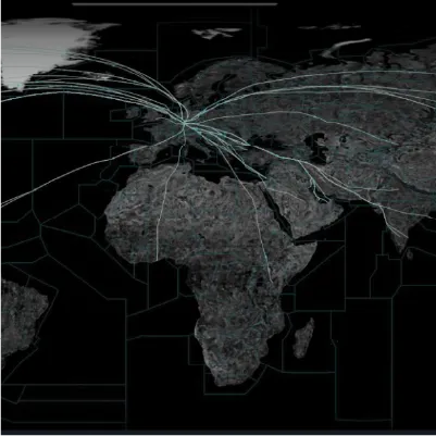
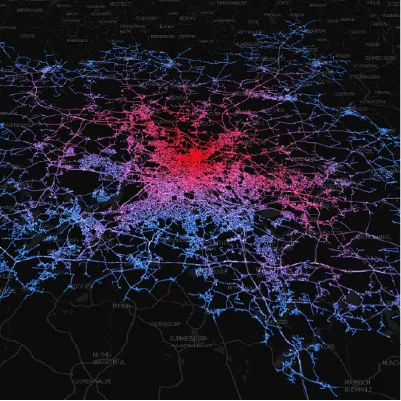
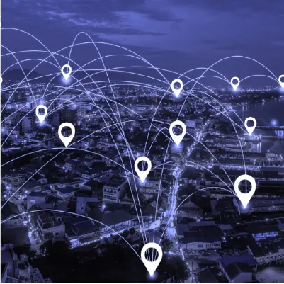
We use geospatial technology to make sense of the world around us. The power of geospatial analytics is to find the relationships between the things that exist on this planet. The more we know about our surroundings, the more we can understand how they relate to each other.
Geospatial data technologies help us understand the world around us. Some 95% of the information we produce via our connected devices has a spatial component. Hydroquo+ helps make sense of the measurements we make, analyses relationships that may exist, and how they may be conditioned by geolocation.


Our Geographic Information Systems (GIS) mapping or location intelligence applications turn geospatial data into useful information. Platforms sensors such as satellites, drones and crewed aircraft, capture images or 3-D data. Mobile GIS software allows the capture, manipulation, analysis and consultation of spatial information outside the office. Data and systems consultancy is available too.


The power of geospatial data lies in its ability to connect people and places in new ways. Understanding how people interact with their environment can lead to better decision-making when planning future developments or managing existing ones.
Geo-data helps us make sense of measurements we make, analyse relationships that may exist, and understand how they may be conditioned by geolocation. Our Geographic Information Systems (GIS) mapping or location intelligence applications turn geospatial data into useful information. Platforms such as satellites, drones and crewed aircraft capture images or 3-D data which is then analysed using mobile GIS software. Data and systems consultancy is available too.
